-

Tracking river plumes
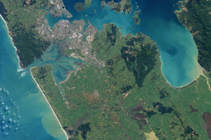
Research ProjectRiver plumes form one of the primary connectors between river-estuary systems and the coastal ocean. -

Oceans 20/20
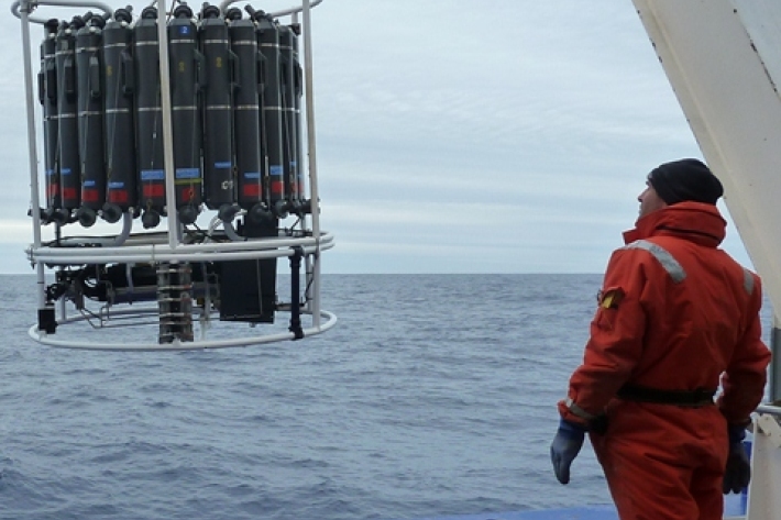
Research ProjectThe Ocean Survey 20/20 (OS 20/20) programme aims to provide NZ with better knowledge of its ocean territory. -

Weed risk assessment
NIWA has developed a model to assess the potential weed risk of aquatic plants. -

Urban impacts on the environmental, social, economic and cultural values of water bodies
NIWA is leading research aimed at helping local government to plan the development of New Zealand's cities and settlements in a way which protects and enhances the services and values associated with urban water bodies. -

Modelling for stormwater management
The objectives of this case study were to provide an example of how a risk assessment of an urban drainage system can be undertaken using an existing operational model -

Climate change and stormwater
Stormwater management is recognised by the Ministry for the Environment as a local government service that is potentially at risk from climate change and may need adaptation. -

Assessing the performance of stormwater treatment
Stormwater treatment is becoming increasingly important as we learn more about the adverse effects of diffuse pollution on our receiving environments. -

Characterising stormwater quality
Urban stormwater can contain a variety of contaminants at a wide range of concentrations, collected as the rainwater runs over impervious surfaces. -

Urban hydrological monitoring
Urban drainage systems include pipe networks, streams and rivers, often in a highly modified condition. -

Stormwater management
NIWA has a range of services and research capabilities to assist with assessing and managing the effects of stormwater and urban development on streams, estuaries and harbours.

