-

Reclassifying karengo (nori)
Research ProjectThe seaweed known colloquially as nori in Japanese - used for making sushi - or karengo in Maori has been reclassified by an international team of scientists including NIWA's Dr Wendy Nelson. -

Globalisation of aquatic plant pests
Research ProjectNew Zealand's geographic isolation and relatively recent colonization provide the opportunity for a unique genetic analysis of plant movement patterns to be explored. -

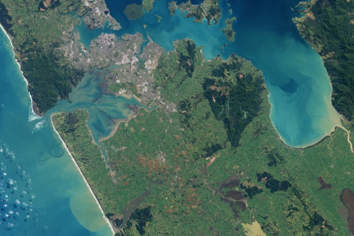
Sedimentation in New Zealand estuaries
Research ProjectEstuaries in New Zealand are experiencing sedimentation at higher rates than before humans arrived here: this represents a loss both for land and estuary productivity. We need to better understand what has been happening so that we can predict the future and fight these losses. -

Southwest Pacific Tropical Cyclone Outlook: Near average or slightly above average numbers for many islands likely, and increased activity in the late season near Tonga and Niue
News article18 October 2012 -

NIWA’s Kaharoa sets sail to deploy robots across the Pacific Ocean
News article12 October 2012 -

Fisheries and EcoConnect
ServiceEcoConnect provides the New Zealand fishing industry with a unique operational decision-making tool to help mitigate commercial, operational, and environmental risk. -

Aquatic weed risk assessment model (AWRAM)
Research ProjectA significant threat to the biosecurity of New Zealand's freshwater habitats comes from plants that have been intentionally introduced. -

Kiwi great whites cross the ditch to Bondi
News article26 September 2012 -

Tracking river plumes
Research ProjectRiver plumes form one of the primary connectors between river-estuary systems and the coastal ocean. -

Oceans 20/20
Research ProjectThe Ocean Survey 20/20 (OS 20/20) programme aims to provide NZ with better knowledge of its ocean territory. -

Weed risk assessment
NIWA has developed a model to assess the potential weed risk of aquatic plants.
