-

Mean daily maximum temperatures (°C)
These datasets are available in a range of formats. -
How can carbon emissions be weighed?
The mass of carbon emissions can easily be calculated. -
Sea level observations (near real-time)
ServiceThis system combines daily sea-level data from NIWA, regional councils, port companies, Antarctica NZ, Bureau of Meteorology and territorial authorities. -
New Zealand bathymetry - Further information
Technical information about our datasets and methodology along with related resources. -

Lesson 9: Ngā Tohu o te Taiao – Māori environmental indicators
Education ResourceThis lesson will explore the use of Māori environmental indicators [tohu] to anticipate local weather and climate conditions. -
Tsunami
Education ResourceTsunami is a Japanese word meaning great wave in harbour. -
Kiribati plans for climate change
-

Guidelines for sampling freshwater fisheries
We have prepared a breakdown of the different guidelines that are available for sampling freshwater fisheries. The overview provides links to key documents that explain what should be considered when designing fish monitoring studies and how to implement the various sampling techniques. -

Splendid Sponges
An interactive guide to the sponges of New Zealand. -

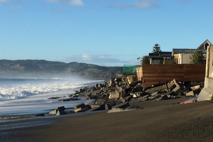
Shifting Sands – the end of a Kiwi dream
Feature story06 June 2017The Kiwi dream of owning a beachfront property with panoramic views of the ocean is under threat—and not just for financial reasons.
