-

CKS2020 - Communicating state and trends
New ways to communicate the state and trends of taonga populations. -

Waikato Dynamic Models Project Proposal
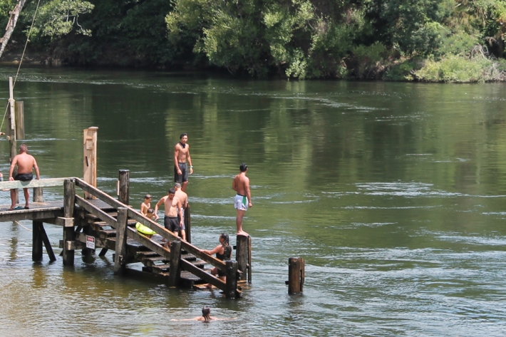
Protection of the Awa Models enable us to predict how different uses of the land and water will impact river and stream health. -

River flow forecasting
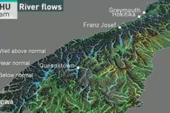
Research ProjectNIWA is developing a national river flow forecasting tool for New Zealand that aims to support and strengthen our planning for and response to extreme rainfall events. -

Bottom lining for the control of submerged lake weeds
Bottom lining is the installation of a flexible covering over the top of beds of aquatic weeds, similar to using weed matting in home gardens. The lining is held in place by weights (e.g., rocks or sandbags) or by pinning. This control method is also called ‘benthic barriers’. -

Freshwater bioremediation using native mussels - focussed on shallow eutrophic lakes
Research ProjectThe project aim was to harness the filter-feeding capacity of native freshwater mussels on rafts to assist in lake restoration. -

Irrigation Insight
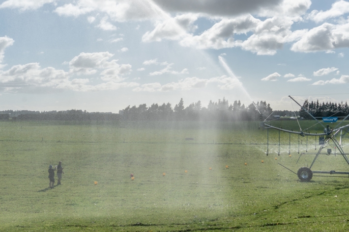
Feature story30 August 2021Irrigation Insight is a joint industry programme funded by MBIE to examine, on working farms, the ease and effectiveness of using high-resolution weather forecasting, production potential, and drainage estimations for on-farm water management. -

Hauraki Integrated Land-Water Modelling
Research ProjectThe Inner Hauraki Gulf/Tīkapa Moana ecosystem is facing proliferations of algae, de-oxygenation, reduced pH (acidification), reduced water clarity, and muddier sediments arising from historical and future land-derived contaminant inputs. -

Report: Trends analysis for selected indicators of Waikato River health and wellbeing 2010-2019
ServiceReport: Trends analysis for selected indicators of Waikato River health and wellbeing 2010-2019 -

Check Clean Dry actions
The Check Clean Dry Campaign aims to stop the spread of freshwater pests by encouraging people going through more than one waterway to check, clean and dry their gear in between. -

Protecting our taonga together
Feature story04 August 2021Alex Fear looks at the Cultural Keystones Species research programme, a research partnership that grew out of the vision of a Ngāti Hau kaumatua. -

Supercharging the view from above
Feature story04 August 2021From the rocky shores of Wellington’s South Coast to the icy waters of Antarctica, NIWA scientists are combining drone technology with advanced computer skills to map, measure and analyse the natural environment as never before. Campbell Gardiner explains. -
The largest flood flow ever measured
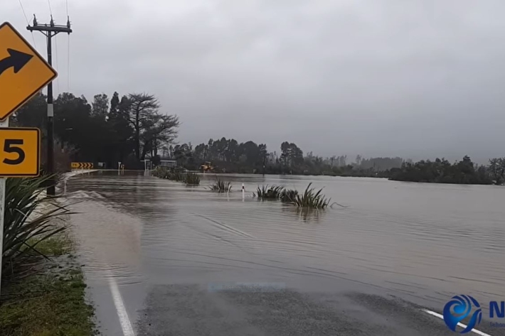
Media release29 July 2021Flood flows on the Buller River this month were the largest of any river in Aotearoa New Zealand in almost 100 years, NIWA measurements show.


