-

NZ Water Model - Hydrology
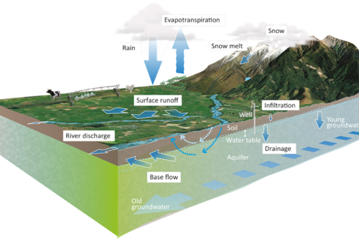
Research ProjectBringing together leading scientific organisations and regional councils, this project aims to develop a sophisticated computer modelling framework that will enable users to accurately predict how much freshwater is available, where it has come from, and how quickly it moves through New Zealand catchments. -

Scientists listen to the sound of photosynthesising seaweeds
Media release22 October 2018NIWA scientists are hoping they may one day be able to “listen” to kelp forests in the waters around New Zealand to find out how they are faring. -

Reducing sedimentation
Feature story15 October 2018New Zealand is a land of erosion. We’re losing about 192 million tonnes of soil a year, according to the latest report Our Land 2018, from the Ministry for the Environment and Statistics NZ. -

Migratory fish get helping hand
Feature story03 September 2018Humans don't always make it easy on fish to get where they are going. New Zealand's first national set of Fish Passage Guidelines – co-developed by NIWA - is expected to help. -

Community project inspires scientists
Media release06 August 2018A project to restore a stream catchment in Kaikōura—damaged in the 2016 earthquake—is being described as inspirational by NIWA scientists. -

From small beginnings a valuable collection grows
Media release24 July 2018Cathy Kilroy is quick to admit she’s a person who doesn’t like throwing anything away. -

Water sensitive urban design: a concrete case
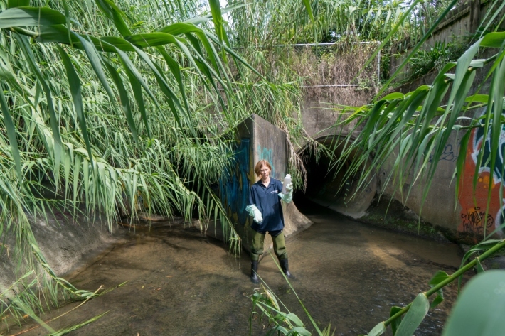
Feature story27 June 2018The hard concrete surfaces that characterise New Zealand towns and cities are barely likely to register as a problem with most people. But they're never far from the minds of our urban water researchers. -

Overview of environmental flow tools
Methods/tools that can be used to assess ecological flow requirements in rivers with varying degrees of hydrological alteration and instream values. -

New Zealand River Maps
NZ River Maps is a simple, yet flexible, web-based tool that allows users to map and interrogate estimates for over 100 freshwater variables for the entire national river network. -

Environmental Flows Strategic Allocation Platform (EFSAP)
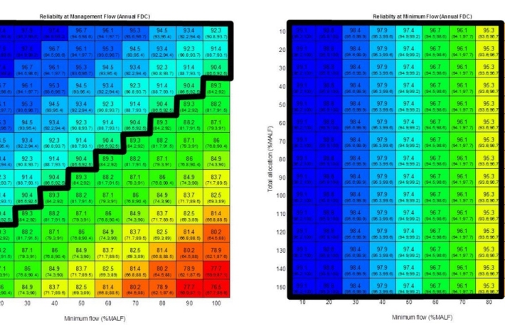
EFSAP is a water planning and management tool designed to assist with setting regional or large-scale water resource use limits for rivers. -

Underwater footage shows exceptional clarity of Te Waikoropupū Springs
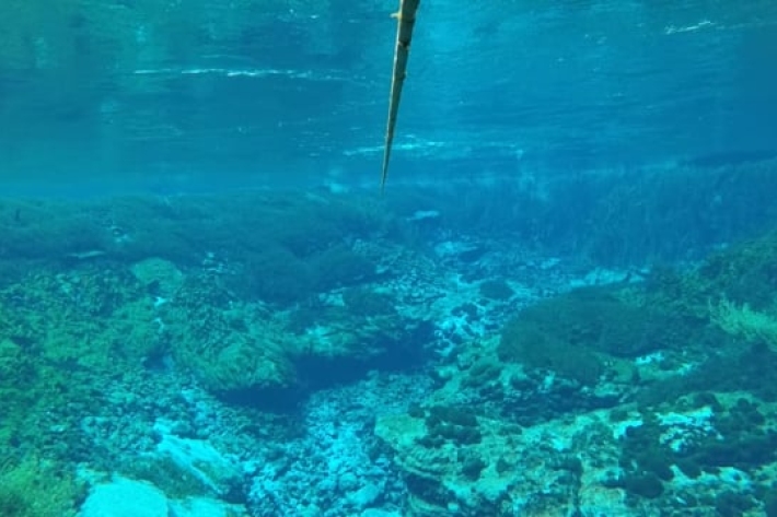
Media release25 May 2018On the bottom of New Zealand’s largest freshwater springs is an underwater garden of vivid green, pinks and inky blues. -

Waikoropupu Springs video
NIWA freshwater scientists have completed monitoring the ultra-clear water of the Te Waikoropupū Springs near Takaka.

