-

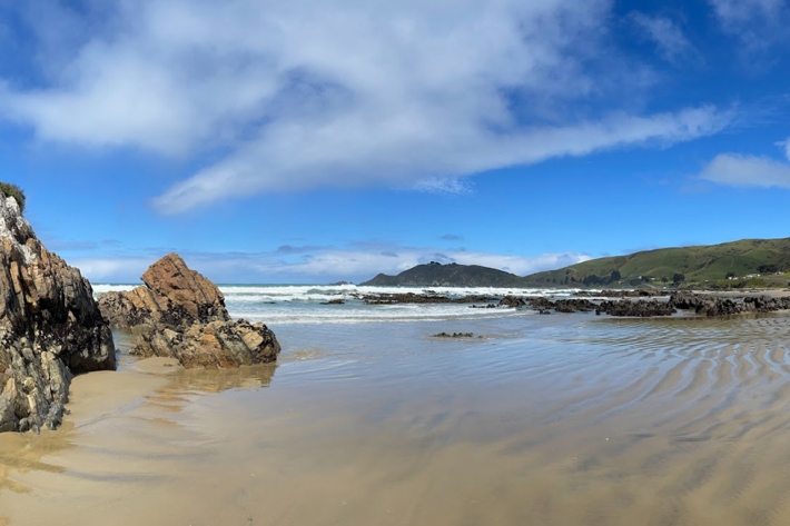
TAN2502 voyage update - 17 January 2025
The latest update from TAN2502 Ross Sea RV Tangaroa “ACTUATE” Voyage -

Antarctic voyage to venture further south than ever before
News article14 January 2025Thirty eight scientists and crew have set sail this week for Antarctica on NIWA’s research vessel Tangaroa, with the aim of going as far south as the Ross Ice Shelf - a first for the ship. -

New fisheries research vessel gearing up for work
Media release09 January 2025NIWA’s new research vessel, Kaharoa II, will be conducting ten days of sea trials out from Nelson, starting this week. -
Research outputs
Research projects carried out under the Future Coasts programme -

Rolling life back into New Zealand’s lakes
Media release16 December 2024NIWA is using biodegradable “life rafts” to reintroduce native plants to degraded lakes. -

Scientists capture stunning snapshots
Media release13 December 2024A unique river portrait and a humorous moment with bubbles are some of the award-winning images taken by NIWA staff this year. -

Potential adaptation options
Research ProjectSee reports produced to guide potential adaptation strategies in the Lower Waikato region. -

Causal diagrams to help understand wellbeing in Te Puuaha| The Lower Waikato River
Research ProjectThe Te Puuaha case study uses causal diagrams to show how sea level rise impacts whaanau wellbeing, helping identify areas for action. -

Storm-tide red-alert days 2025
ServiceStorm-tide red alerts mark the highest king tides, crucial for emergency and coastal hazard managers to monitor. -

Future Coasts multi-hazards game
Research ProjectA serious game simulating a coastal lowland scenario under climate change to support adaptation decision-making and community engagement. -

Impact of waterlogging on growth of perennial ryegrass
Research ProjectQuantifying impact of sea-level rise on agricultural yield -

Mapping Elevation Capital
Research ProjectMapping migration space for coastal habitats under sea-level-rise