-

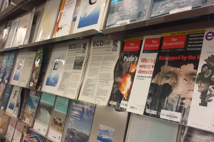
Library
ServiceThe NIWA library collection contains items in a range of formats, covering subjects including atmospheric and climate research, aquaculture, oceanography, fisheries and marine sciences. -

Applying for vessel time
Find out how you can have access to NIWA's research vessels to carry out marine research voyages. -

Mean monthly sunshine (hours)
These datasets are available in a range of formats. -

Special Climate Statement 2017-18 Summer
Sea surface temperatures in the southern Tasman Sea rose to exceptionally high levels in late 2017 and early 2018. These temperatures were far above any others previously observed at that time of year in the region, and extended west from New Zealand to Tasmania and mainland southeast Australia. -

Obtaining climate data from NIWA
NIWA maintains the national climate database for New Zealand, and can supply data in a variety of ways. -

The Intergovernmental Panel on Climate Change (IPCC)
Education ResourceThe Intergovernmental Panel on Climate Change (IPCC) is charged with assessing the most up to date scientific, technical and socio-economic research on climate change. -

NIWA Instrument Systems
Instrument Systems is a specialised technology-focused consulting group within NIWA. -

Critter of the week
In this blog series, we feature a new critter from our expansive invertebrate collection including pictures of specimens in their unique habitat. The blogs also feature news, links and fun facts that showcase New Zealand’s fascinating marine fauna. -

Tuna - elvers and recruitment
Once in freshwater, glass eels develop into darker pigmented juvenile eels known as elvers.

