-
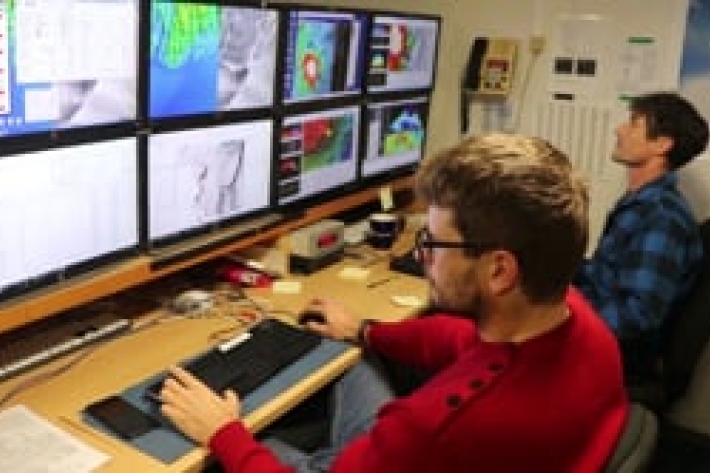
Can sound be used to characterise gas composition in the water column?
Underwater gas bubbles acoustic monitoring and seabed mapping around Whakaari Island -
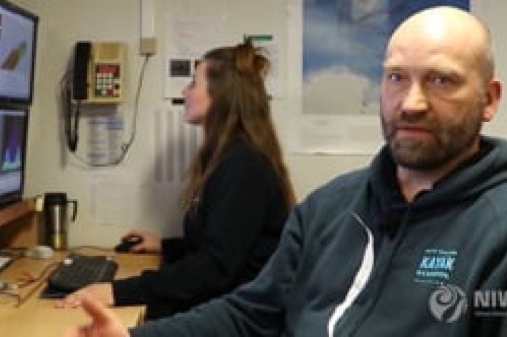
A flair for finding gas bubble flares
NIWA marine geologist Arne Pallentin is looking for telltale gas bubble 'flares"—using a multibeam echosounder—that indicate new volcanic activity in the Calypso Vent Field. -
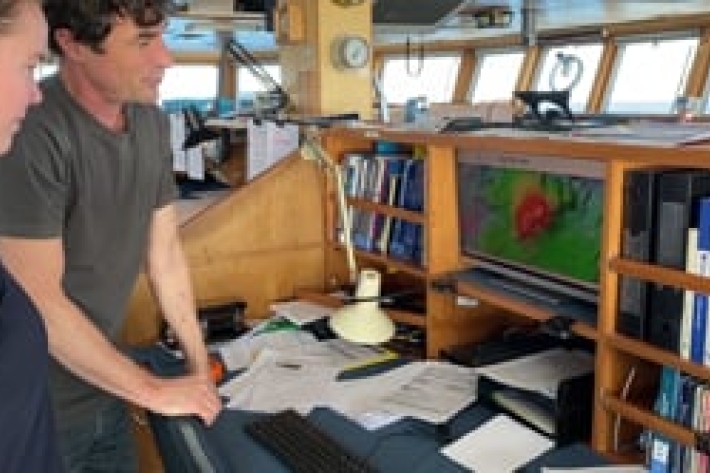
Using sound to see what's happening geologically
Marine geologist - Dr Joshu Mountjoy - is mapping the seafloor landscape around Whakaari/White Island to understand how much sediment was dislodged in the eruption and where it has gone. -
Autonomous vessels
ServiceFisheries researchers combine technologies to collect more data at a lower cost. -
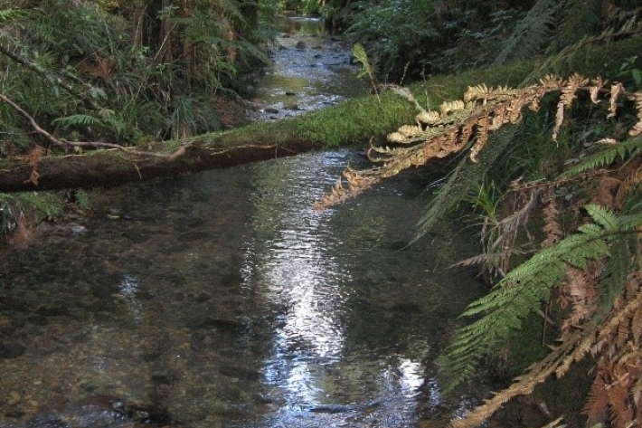
The Whatawhata Integrated Catchment Management Project
Research ProjectThe Whatawhata Integrated Catchment Management (ICM) Project is the longest continuously monitored before-after-control-impact (BACI) catchment-scale study in New Zealand. -
NIWA Essential Services: COVID-19
Media release27 March 2020NIWA’s priority at all times is on the wellbeing, health and safety of our staff working across the country delivering excellent research and associated science services for the benefit of all New Zealanders. -
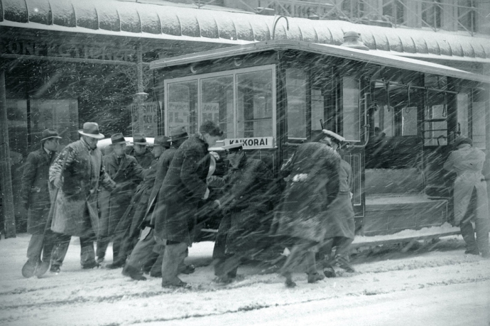
Scientists recreate the week it snowed everywhere
Feature story01 February 2020NIWA has teamed up with Microsoft for a new project using artificial intelligence to combine historic weather records with breakthrough handwriting recognition tools. -
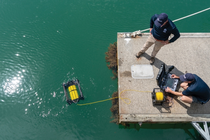
Embracing the revolution
Feature story01 February 2020Technology and Innovation General Manager, Dr Barry Biggs, looks at the impact of the fast-moving world of “tech” on NIWA’s science. -

The week it snowed everywhere
Media release21 November 2019Novel handwriting recognition project casts new light on historic weather data. -

NZWaM - Water-age model
The purpose of the water-age model is to represent water exchange between land, surface-water bodies and aquifers. -

NZWaM - Surface water flow model
This task aims to improve and enhance the accuracy of surface hydrological model discharge predictions, at both catchment and regional scales. -

NZWaM - Groundwater flow model
The role of the NZWaM groundwater model is to improve surface water model simulations, by estimating groundwater storages and groundwater fluxes.


