TAN2502 voyage update – 17 February 2025
The previous update came as we were scooting north to Cape Adare with a southerly storm right behind us. Cape Adare is at the northmost tip of the Transantarctic Mountains – a range that extends 3,500 km southwards, spanning Antarctica. It also serves to guide the winds of the Ross Sea along its west coast making for a tricky area to sample. However, just around the pointer-like tip of Cape Adare you enter the wedge-shaped Robertson Bay. In the right conditions it can prove a haven from the frequent storms – or, you can find yourself dodging swirls of sea ice.

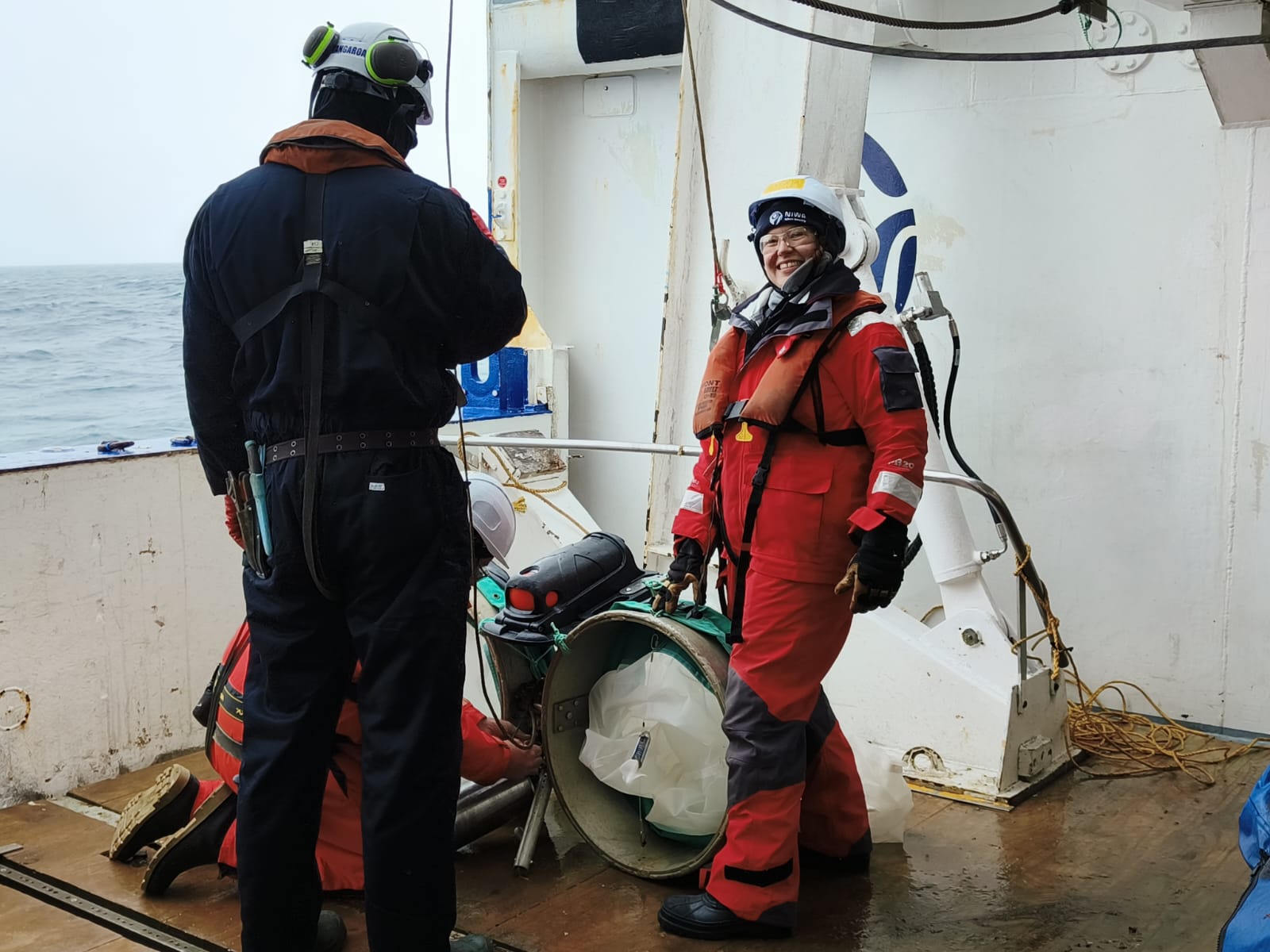
As it was, after a little negotiation with the sea ice and icebergs at the entrance (see image below), we were able to get into a relatively ice-free part of the bay and carry on with benthic mapping and surveying. This made a useful balance to when we were here in Laura Bassi when most of the sampling was for surface sediment. When not being blasted by wind, the bay is spectacular - ringed by mountains and cascading glaciers. These have the strange effect of seeming both bigger and smaller in scale than many of the preceding coastal scenes.
Robertson Bay is notable in both human and ecological terms. It was the site of the first winter camp on Antarctica when, in 1899, Carsten Borchgrevink and team set up a base on a piece of flat ground near the bay entrance. Viewing a map, you can see why they chose the location as it looks sheltered from the worst of the southerly storms, but in fact the biggest of the storms just jump the local pass and bear down right on the flat beach area. Not only was it miserable in terms of weather, but Borchgrevink’s team also had to share the beach with roughly a million Adelie penguins, the largest such colony anywhere. I expect the novelty wore off for both groups.
After several days sampling the bay and, as the storm eased, the nearby Possession Islands, we headed eastward for our last work on the continental shelf and away from a remarkable sequence of views. One of our key work packages looks to combine eDNA, fisheries acoustics and zooplankton assemblages in a continuation of the work that Drs. Alina Madita Wieczorek and Svenja Halfter conducted at earlier stations. They are collaborating with Dr. Sherine Cubelio from India’s Centre for Marine Living Resources & Ecology which is part of India’s Ministry of Earth Sciences. Dr. Cubelio has joined us for her first Antarctic voyage to participate in work seeking to connect identification of higher trophic levels to ocean conditions. Sherine gave a talk onboard as part of our ship’s science seminar series and it was great to hear about the different types of ocean research work happening in India and the Indian Ocean. It is very exciting that this collaboration between India and Aotearoa New Zealand is growing as we all have a stake in the changes around Antarctica.
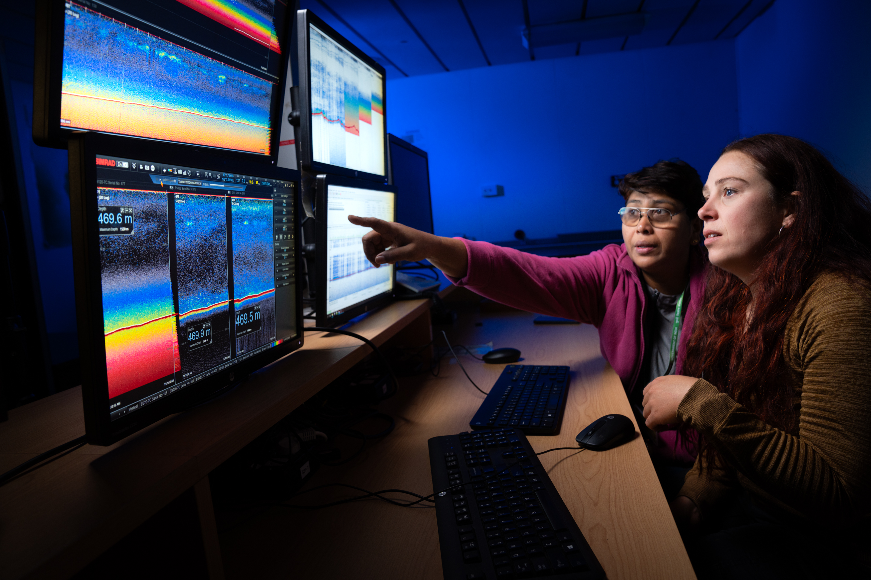
Alina, Svenja and Sherine’s work required a zig-zag path along the continental shelf edge looking for fish population areas between Cape Adare and Hallett Ridge. We’d seen some of the spectacular samples that were coming up in Svenja’s zooplankton nets, but this only just barely prepared us for the images of sea floor plants and animals captured by DTIS and its cameras. One of the angles that both Dr. Wieczorek’s group, and the wider voyage, are working towards is stronger biophysical connections, so to conduct this work on the shelf-break edge makes a lot of sense.
Certainly, from an empirical perspective the region has historically been a target area for fishing – a sure indicator of high biological productivity. From a physical point of view there will be a good deal of mixing due to tides interacting with the shelf-break. But, most importantly, this is where we find the Antarctic Slope Current.
The Antarctic Slope Current is a westward flow found on all Antarctica’s coastal margins. It is critical to the future of ice in Antarctica as it acts as a control on how warm water from further north finds its way south. We targeted this last year when we deployed three Argo floats, provided by the Canadian Argo team, across the slope current, well to the east of our present work. It is quite remarkable to see how far apart these three floats have ended up. This points to the complexity of the current, and the challenge for modelling approaches operating with little input data.
With all these processes going on, it was no surprise to see the range of species on DTIS cameras as we worked up submerged Hallett Ridge, 250 km to the east of Cape Adare. It’s remarkable to be this far into a long trip and for people to still be excitedly hovering around the video monitors. Indeed, despite happening at midnight, the last DTIS video sampling run of the entire voyage seemed more like a party as the lab was crowded to the max with people, chocolates, streamers – and imagery of our polar marine environment. And so, from the tip of Hallett Ridge, we turned northwards.
-Craig Stevens (co Voyage lead with Denise Fernandez).