-

NIWA weather and climate information
Software Tool/ResourceFree sources of weather and climate information and data from NIWA. -

Climate stations statistics
ServiceNIWA generates ‘Statistics’ from Climate Station Observations collected as part of our Climate Station Network. -

Climate station normals
ServiceNIWA generates ‘Normals’ from Climate Station Observations collected as part of our Climate Station Network. -

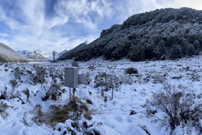
National Climate Network
ServiceSituated around New Zealand and the Pacific are climate and weather monitoring stations numbering over 1200. -

NIWA35 data request form
ServiceObtain NIWA35 forecast data from NIWA. -

Storm-tide red-alert days 2024
ServiceStorm-tide red-alert days 2024 -

Weather and climate forecasting services
Whether you need weather or climate information six hours, days or months out, our accurate forecasts can help you with operational requirements and decision making. -

UV and Ozone
ServiceThis is the home for NIWA's UV and ozone research, including maps and graphs showing daily predictions and measurements for UV levels across New Zealand. -

UV Index
ServicePlots of today's UV index are available in graphical form for Auckland, Wellington, Christchurch, Lauder and Invercargill. -

Tide Forecaster
ServiceNIWA's Tide forecaster provides tidal data for any point in New Zealand. -

NIWA Weather
ServiceNIWA Weather is NIWA's public facing weather forecasting website. You'll find 2-day, hour-by-hour forecasts for locations across Aotearoa New Zealand, as well as forecast videos by our in-house meteorologists, animations showing rain forecasts, tide forecasts and NIWA's daily UV index. -

High Intensity Rainfall Design System (HIRDS)
ServiceHIRDS is a simple online tool that can estimate the magnitude and frequency of high intensity rainfall at any point in New Zealand.
