-

Wave action
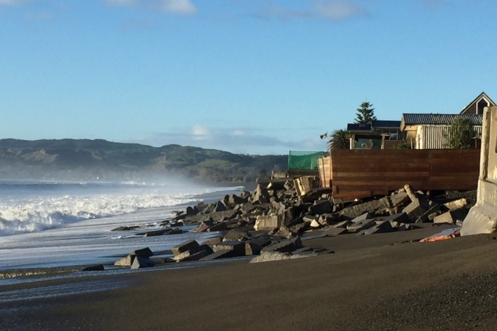
Feature story06 June 2017New Zealand’s coast is sculpted by ocean waves. Some wave conditions bring joy to surfers and beachgoers, but, at other times, waves can cause major hazards at sea or along the shore. -

Climate Change Vulnerability Assessment (CCVA)
ServiceTo prepare for changes in climate, our freshwater and oceans decision-makers need information on species vulnerability to climate change. -

Hotspot Watch Updates
This weekly update helps assess likelihood of extremely dry weather preceding a drought. Regions experiencing severely to extremely drier than normal soil conditions are deemed “hotspots” -

PARTneR (Pacific Risk Tool for Resilience)
Research ProjectUnderstanding how hazards impact people and the environment provides the foundation for informed decision making for a resilient Pacific. -

New Zealand Drought Monitor
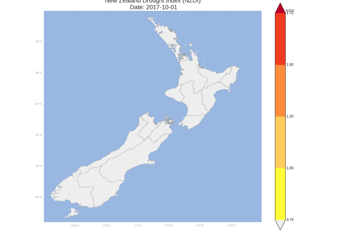
ServiceThe New Zealand Drought Monitor is a system for keeping track of drought conditions across New Zealand based on a standardised climate index. -

Marine geological hazards
Education ResourceNew Zealand faces a variety of hazards associated with undersea geological activity. -

Droughts
Generally speaking, a drought is defined as a rainfall deficit which restricts or prevents a human activity – for example, farming or power generation. -

Sea level observations (near real-time)
ServiceThis system combines daily sea-level data from NIWA, regional councils, port companies, Antarctica NZ, Bureau of Meteorology and territorial authorities. -

Extreme weather - heavy rainfall
Education ResourceHeavy rainfall is one of the most frequent and widespread severe weather hazards to affect New Zealand. -

Cam-Era for You
Water Levels: Our Cam-Era installation on the Ashburton River overlooks a hapua or coastal lagoon. We know the exact location of several posts in the front of the image, and we can use these and the position of the camera to back-calculate the water level.
What Cam-Era can do for you
Every day we come up with new things that Cam-Era can monitor. -

Extreme weather - winds and tornadoes
Education ResourceDue to its position in the 'Roaring Forties', a belt of strong winds in the Southern Hemisphere which generally occur between the latitudes of 40 and 49 degrees, as well as its small size, New Zealand is a windy country. -

Coastal erosion & sediment systems
Education ResourceNZ has a range of different types of coasts, and so very different coastal erosion and sediment systems.

