-

Shark conservation one watermelon at a time
Media release02 July 2018Warrick Lyon is heading to the Marshall Islands to teach fisheries observers how to tag sharks. -
Water sensitive urban design: a concrete case
Feature story27 June 2018The hard concrete surfaces that characterise New Zealand towns and cities are barely likely to register as a problem with most people. But they're never far from the minds of our urban water researchers. -

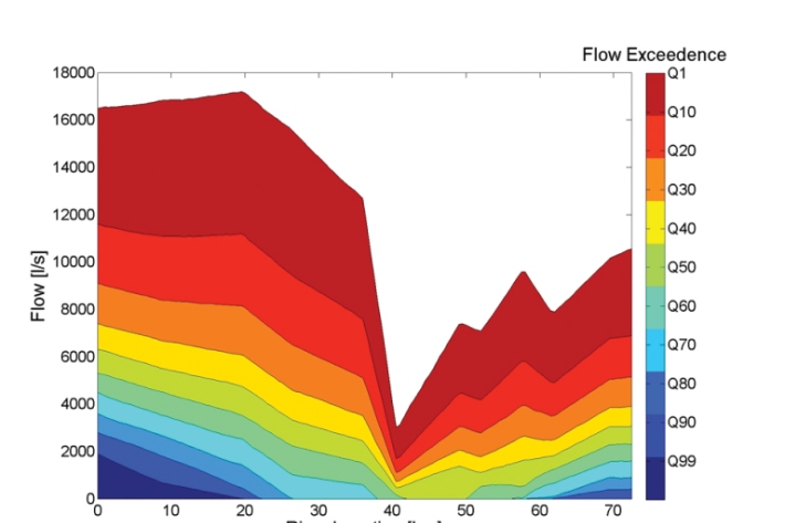
Overview of environmental flow tools
Methods/tools that can be used to assess ecological flow requirements in rivers with varying degrees of hydrological alteration and instream values. -
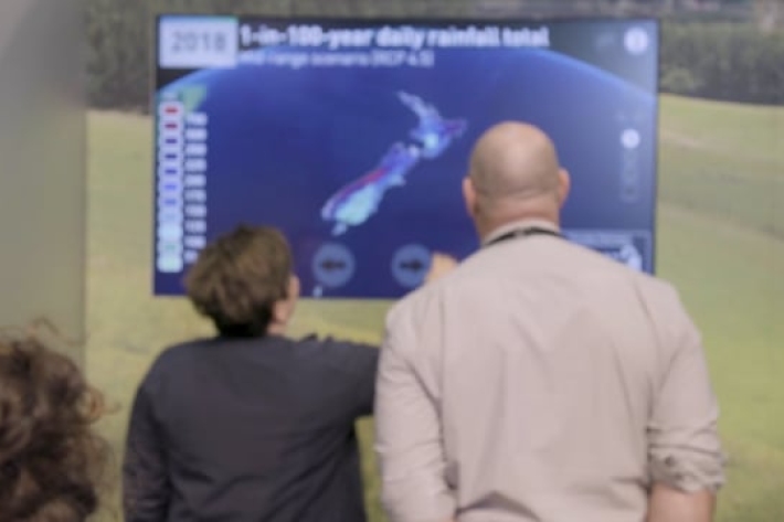
Climate change touch screen - Fieldays
The touch screen in action at Fieldays.revealing how our climate will change across the country. -

NIWA seaweed scientist tackling global climate change issue
Media release21 June 2018One of the world's leading scientific publishers has named a paper cowritten by a NIWA scientist as one of 250 groundbreaking findings that could "help change the world". -
NZ scientists launch their part in bold project to map seafloor
Media release20 June 2018New Zealand’s contribution to an ambitious international project aiming to generate a definitive map of the entire ocean floor in less than 12 years, is being launched in Wellington tomorrow. -
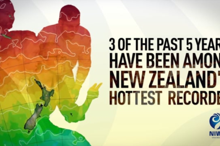
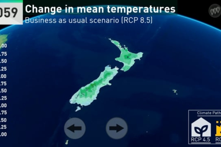
Our Climate is Changing
Our climate is changing - we need to act now. -

Lake Tekapo study raises awareness of tsunamis in NZ lakes
Media release12 June 2018A pilot project has provided the most advanced mapping of a New Zealand lake ever and highlights the hazard to lakeside towns of tsunamis caused by landslides. -

New Zealand River Maps
NZ River Maps is a simple, yet flexible, web-based tool that allows users to map and interrogate estimates for over 100 freshwater variables for the entire national river network. -
Empirical Longitudinal Flow MODel (ELFMOD)
ELFMOD is a statistical tool for estimating flows at multiple points along rivers subject to surface/ground-water exchanges, using both measured flow at selected sites and other predictor variables such as rainfall and groundwater levels.