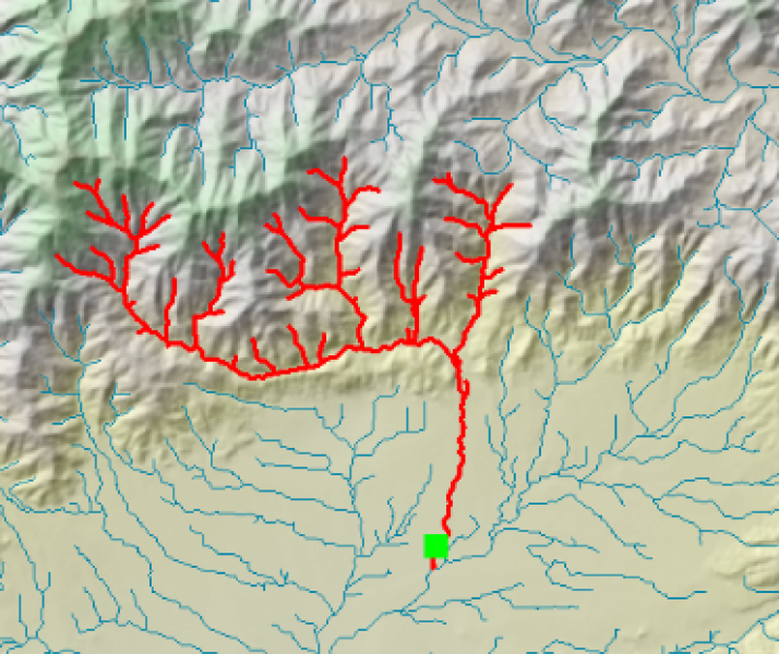
The River Environment Classification (REC) is a database of catchment spatial attributes, summarised for every segment in New Zealand's network of rivers. The attributes were compiled for the purposes of river classification, while the river network description has been used to underpin models.
Typically, models (e.g. CLUES and TopNet) would use the dendritic (branched) linkages of REC river segments to perform their calculations. Since its release and use over the last decade, some errors in the location and connectivity of these linkages have been identified. The current revision corrects those errors, and updates a number of spatial attributes with the latest data.
REC2 provides a recut framework of rivers for modelling and classification. It is built on a newer version of the 30m digital elevation model, in which the original 20m contours were supplemented with, for example, more spot elevation data and a better coastline contour. Boundary errors were minimised by processing contiguous areas (such as the whole of the North Island) together, which wasn't possible a decade ago. Major updates include the revision of catchment land use information, by overlaying with the latest land cover database (LCDB3, current as at 2008), and the update of river and rainfall statistics with data from 1960-2006.
The river network and associated attributes have been assembled within an ArcGIS geodatabase. Topological connectivity has been established to allow upstream and downstream tracing within the network. REC2 can be downloaded as a zip file and used directly in ArcMap. Alternatively, the layers can be extracted as shape files.
NIWA acknowledges funding from the Terrestrial and Freshwater Biodiversity Information System (TFBIS) towards the preparation of REC v2.

